Sectors2 July 2026· 5 min
Voltis: operational supervision of energy corridors
A national operator is piloting Voltis to track line condition, anticipate vegetation risk and prioritise interventions.

Voltis is moving into operational deployment with a national network operator. The brief: supervise energy corridors, anticipate vegetation-related risks and prioritise field interventions.
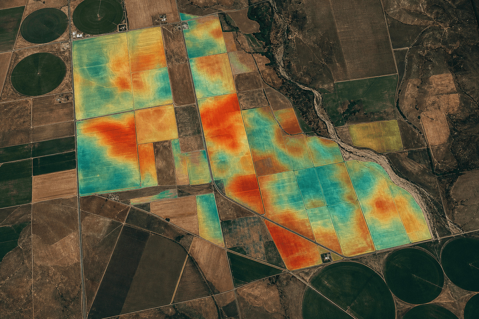
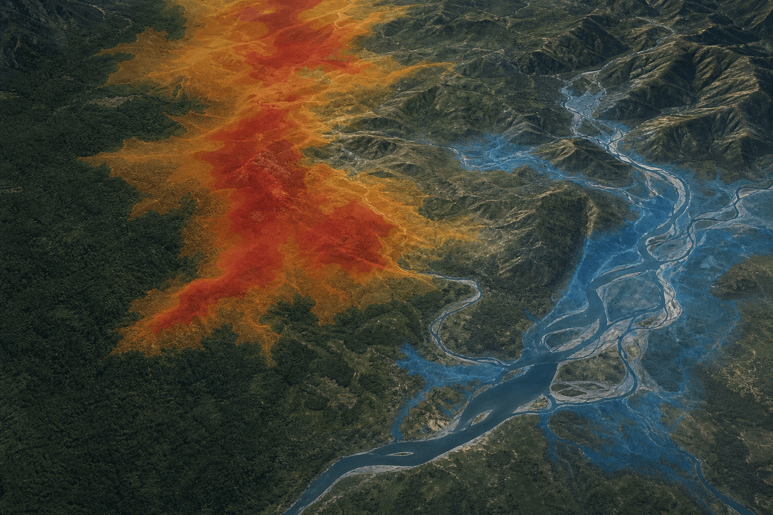
By combining VHR imagery, weather data and asset layers, Voltis delivers a continuous reading of line condition. Teams get alerts ranked by criticality, with precise spatial context to speed up planning.
This pilot also validates our delivery model: business dashboards, secure exports and progressive integration into existing maintenance tools. Next, geographic coverage expands and vegetation-risk models sharpen.