01
Optical satellite imagery
Pléiades, SPOT, Sentinel-2 · 30 cm to 10 m
A regular view of large territories, to track land use and what changes from one image to the next.
 Anemone
About
Anemone designs platforms and industry software for governments, institutions and enterprises that must detect earlier, see wider and act faster.

The same pipeline powers all our software. It is what keeps results consistent from one sector to the next.
Continuous collection of heterogeneous streams: optical, radar, hyperspectral, drone, terrain, weather and administrative layers.
Spatio-temporal alignment, quality control and unification on a single foundation, a coherent ground truth.
Detection, change tracking, risk scoring and contextualisation, from pixel to decision.
Controlled access, secure APIs, private cloud or on-premise: your data stays under your sovereignty.
No single source is enough. Each answers a question the others leave open: it is by combining them that a signal becomes reliable.
Pléiades, SPOT, Sentinel-2 · 30 cm to 10 m
A regular view of large territories, to track land use and what changes from one image to the next.
X, C, L, P bands
It sees through clouds and at night, and measures ground deformation to the millimetre.
VNIR, SWIR, TIR
It reveals vegetation vigour and stress, invisible to the naked eye.
Classified point clouds · 10 points/m² and more
It measures the height of every object: trees, buildings, lines, and the relief beneath the forest.
Optical, thermal, onboard LiDAR
Centimetre resolution where fine detail is needed, flown on demand.
DEM, slopes, elevation
Relief explains where water flows, where soil erodes and where access is difficult.
Forecasts and historical series
Rain, temperature and wind provide the context that turns a risk from possible to imminent.
Parcels, networks, buildings
They link each observation to an asset, a parcel and an owner.
Visuals: IGN (infrared orthophotography, LiDAR HD, BD TOPO, RPG, Parcellaire Express), Sentinel-2 cloudless by EOX (modified Copernicus data), ESA (Sentinel-1, CC BY-SA 3.0 IGO), DroneMapper (CC BY-SA 3.0), Open-Meteo (CC BY 4.0).

Anemone builds geospatial intelligence platforms for governments, institutions and enterprises that must detect earlier, see wider and act faster, without giving up data sovereignty.
Private cloud · On-premise · Role-based access control
Each sector has its own tool, built on the same data pipeline, to the same operational standard.

Monitor, qualify and anticipate the condition of infrastructure and territories.
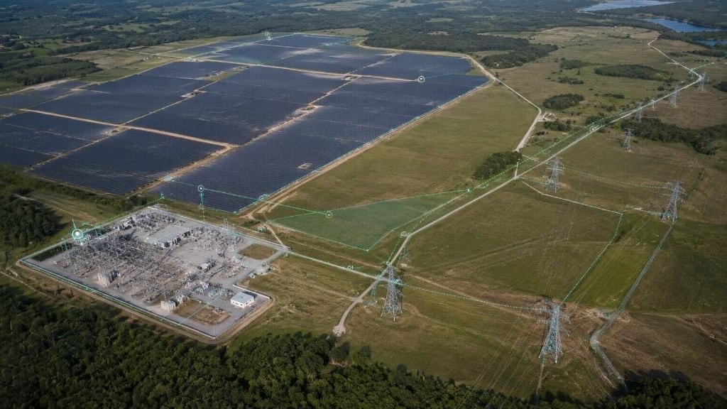
Manage energy networks, detect corridor anomalies and secure generation assets.
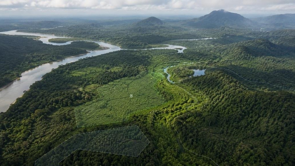
Map environmental dynamics, anticipate natural hazards and track how territories evolve.
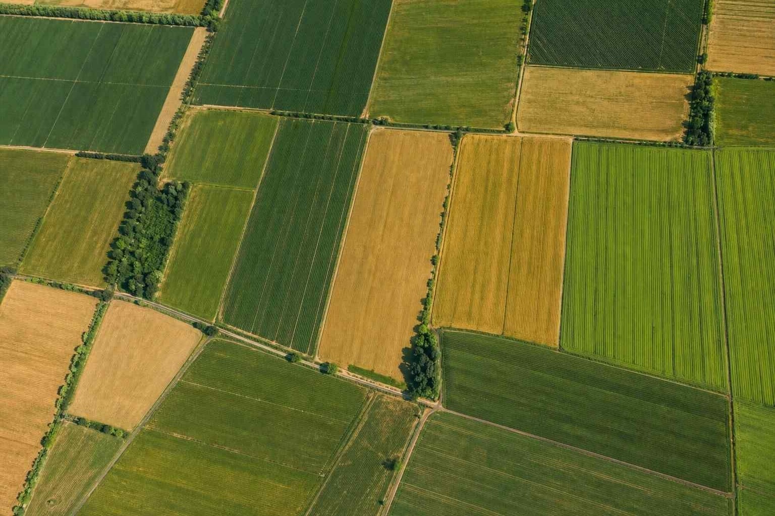
Measure crop vigour, anticipate water stress and guide interventions parcel by parcel.
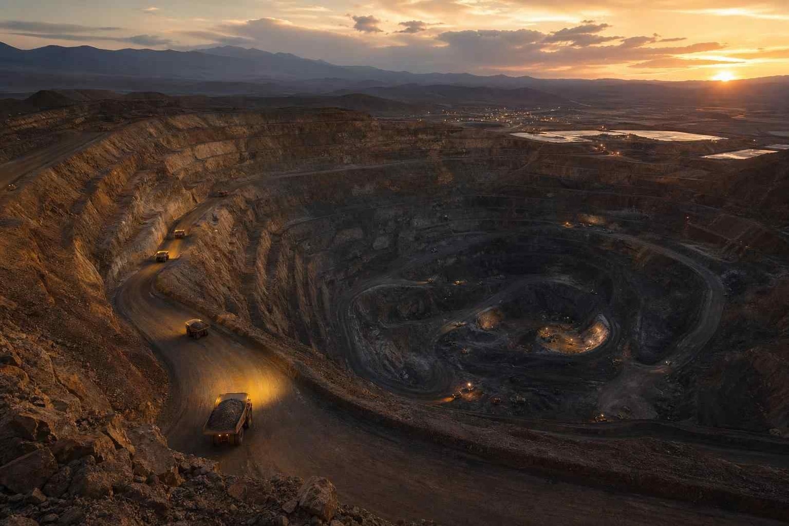
Track extraction, secure perimeters and qualify how mining sites evolve.
Let’s discuss your operational challenges and the deployment model that best fits your organisation.