Industrial site

- Detected activity
- High
- Vehicles
- 48
- Disturbed area
- 12.4 ha
- Updated
- 08:42 UTC
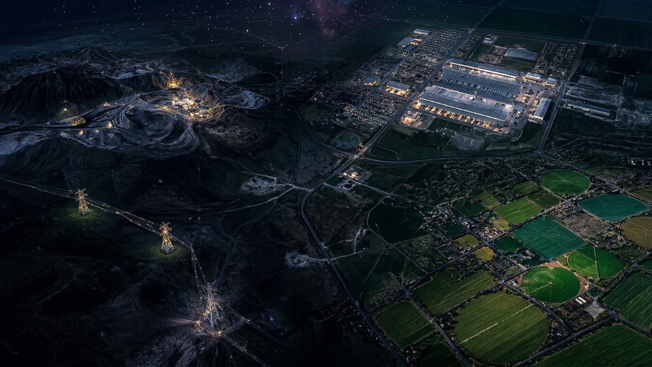
| ANEMONE — Geospatial intelligence |
Anemone unifies satellite imagery and multi-source data to detect weak signals, anticipate risks and manage your assets at scale.
02 · Data
Multi-source ingestion, spatio-temporal fusion, reasoning and sovereign delivery, one pipeline that turns heterogeneous streams into usable intelligence.
Ingestion
Continuous collection of heterogeneous streams, optical, radar, hyperspectral, drone, terrain, weather and administrative layers.
Normalisation & fusion
Spatio-temporal alignment, quality control and unification on a single foundation, a coherent ground truth.
Reasoning
Detection, change tracking, risk scoring and contextualisation, from pixel to decision.
Governance & delivery
Controlled access, secure APIs, private cloud or on-premise, your data stays under your sovereignty.
Ingested sources
Satellite
Optical, SAR
Radar (SAR)
X (C) L, P
Hyperspectral
VNIR (SWIR) TIR
Drone / UAV
Optical, Thermal
Terrain
DEM, Slopes, Elevation
Weather & climate
Forecasts, Indicators
Cadastral / Administrative
Parcels, Zones
03 · Sector solutions

Infrastructure Intelligence
Monitor, qualify and anticipate the condition of your infrastructure and territories.
Business capabilities
Corridor monitoring
Infrastructure risk scoring
Territorial anomaly alerts
Each sector has its own tool, built on the same data pipeline, to the same operational standard.
Technology designed for governments, institutions and organisations with high operational stakes.
See how we handle data04 · Projects
Institutions, operators and critical organisations rely on ANEMONE to turn imagery into concrete, field-ready decisions.
01Infrastructure · Infrastructure operator
Early detection of disruptions, risk qualification and intervention prioritisation across an extensive network.
 02
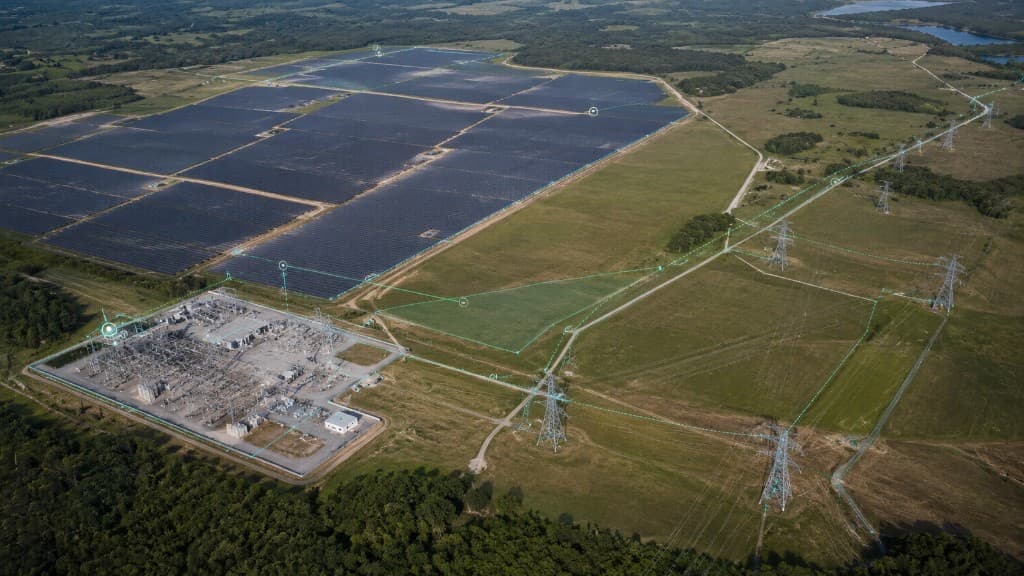
02Energy · Energy group
Voltis combines VHR imagery, terrain and weather to anticipate line risks and protect service continuity.
 03
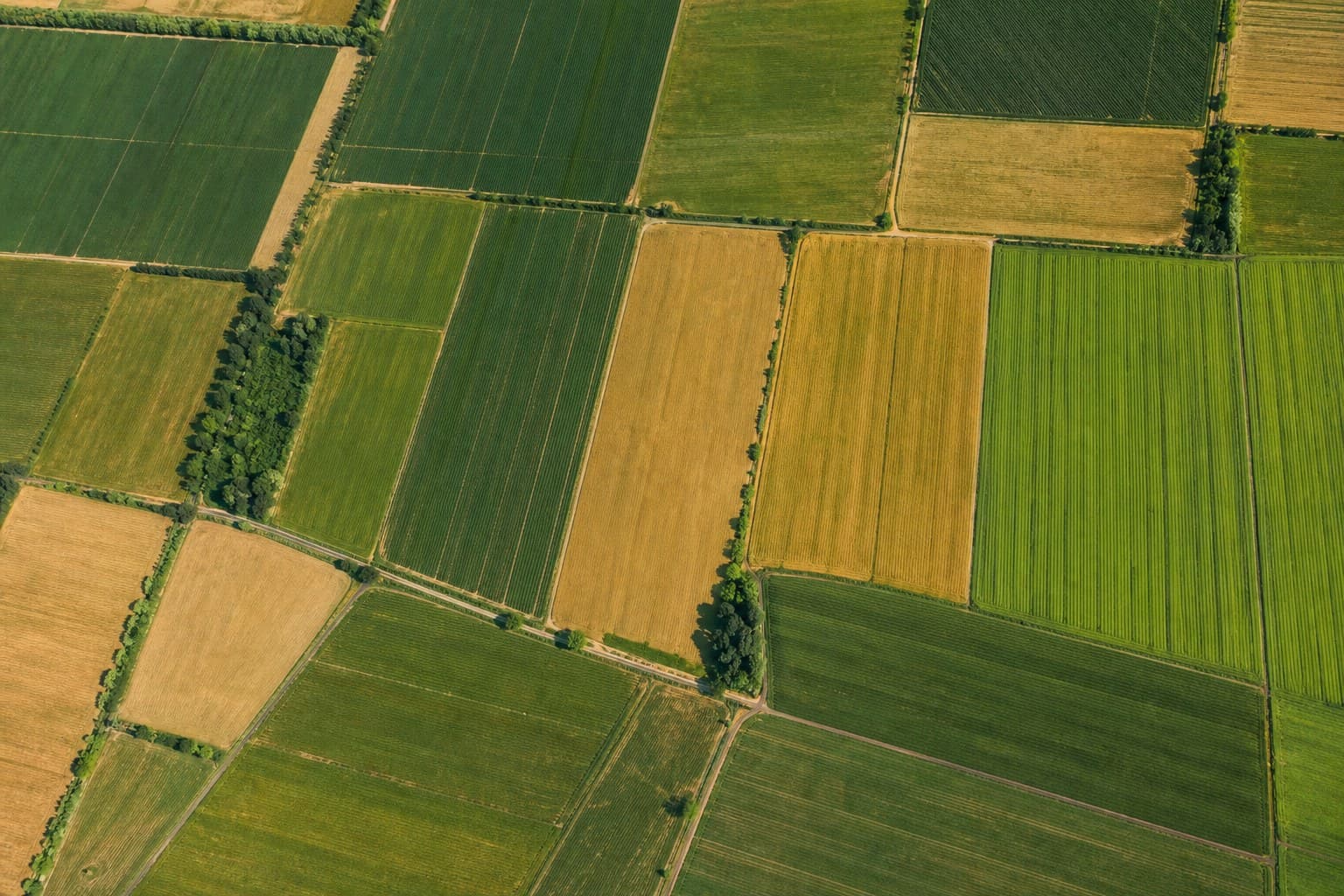
03Agriculture · Agri-industrial subsidiary
Terra delivers vigour indices and water-stress alerts to guide agronomic interventions.
05 · About
Anemone builds geospatial intelligence platforms for governments, institutions and enterprises that must detect earlier, see wider and act faster, without giving up data sovereignty.
Learn more about Anemone →5
industry software products
7
unified data sources
3
deployment modes
24/7
operational monitoring
Private-cloud or on-premise architectures, with access controls suited to regulated environments.
A common layer of models and reasoning, then specialised by industry software.
Actionable deliverables: dashboards, APIs, reports and contextualised alerts.
Research
We connect imagery, models and operational constraints to deliver insights that are reliable, auditable and ready to deploy.
Optical, SAR and hyperspectral spatio-temporal alignment for coherent large-scale time series.
Models that move from pixel to region without losing operational context.
Confidence scores, source traceability and controls suited to institutional use.
News

Anomaly detection, risk scoring and operational delivery. Orion v2 brings the end-to-end journey together for infrastructure operators.
Read article
Our spatio-temporal fusion pipeline sharpens early detection of subtle change, even under cloud cover.
Read article
A national operator is piloting Voltis to track line condition, anticipate vegetation risk and prioritise interventions.
Read article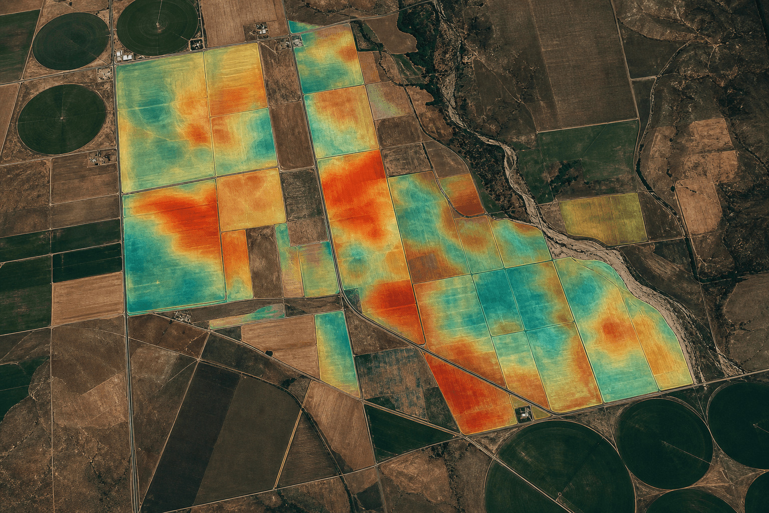
Vigour indices, soil moisture and agronomic alerts for large-scale agricultural value chains.
Read articleContact
Let’s discuss your operational challenges and the deployment model that best fits your organisation.