
Solutions · Infrastructure
Orion
Monitor, qualify and anticipate the condition of infrastructure and territories.
The industry software that turns multi-source imagery into operational advantage, for organisations that cannot afford a blind spot.

When the territory outgrows observation capacity.
What organisations with high operational stakes face today, and what Orion is built to solve.
Blind spots
Kilometres of infrastructure that cannot be inspected continuously.
Information asymmetry
Heterogeneous sources, incompatible formats, only a partial view of risk.
Late detection
Anomalies spotted after the incident, interventions poorly prioritised.

An intelligence layer to see, score and alert.
Orion brings sources together, detects what changes and passes on to teams what deserves action.
Private cloud · On-premise · Role-based access control
How Orion ingests and processes data.
The Anemone pipeline, shared by every software product, with reasoning specific to the infrastructure sector.
Ingestion
Optical and SAR satellite, drone, terrain, administrative layers.
Fusion
Alignment, normalisation and a single foundation.
Detection and scoring
Objects, changes, corridor anomalies, scored against infrastructure risk.
Operational alerts
Secure delivery to dashboards, APIs and field teams, private cloud or on-premise.
Capabilities built for operations.
Discuss a use case →Corridor monitoring
Track the condition of critical corridors, detect disruptions and qualify how they change over time.
Infrastructure risk scoring
An actionable score, rather than an avalanche of raw alerts.
Territorial anomaly alerts
Flag significant deviations (vegetation, occupancy, deformation) before they turn into incidents.
Operational decision support
A shared view to trigger, plan and document interventions.
The same pipeline, other sectors.
Each software product is built on the same data foundation, to the same operational standard.
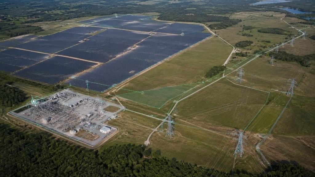
Voltis
EnergyManage energy networks, detect corridor anomalies and secure generation assets.
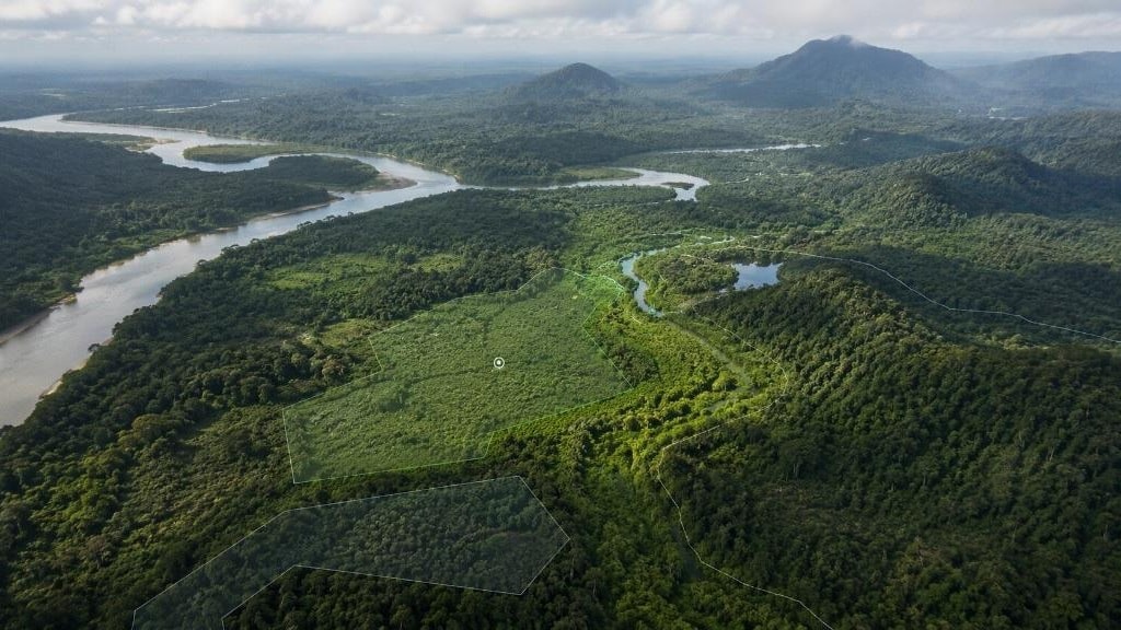
Gaïa
EnvironmentMap environmental dynamics, anticipate natural hazards and track how territories evolve.
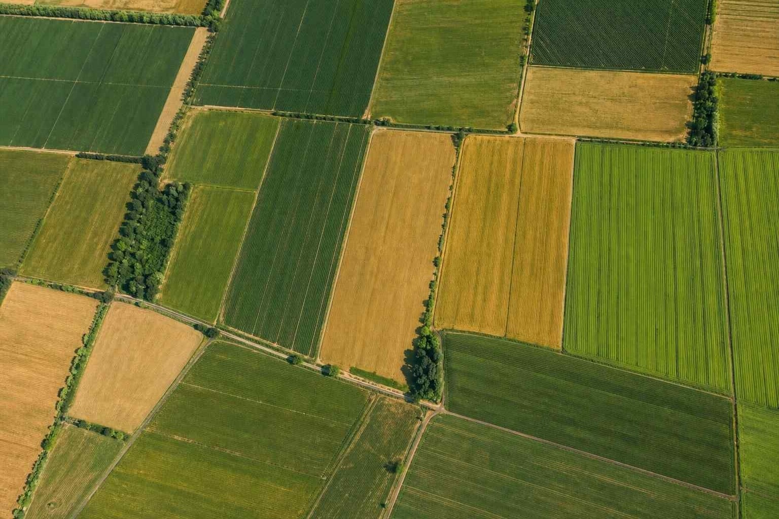
Terra
AgricultureMeasure crop vigour, anticipate water stress and guide interventions parcel by parcel.
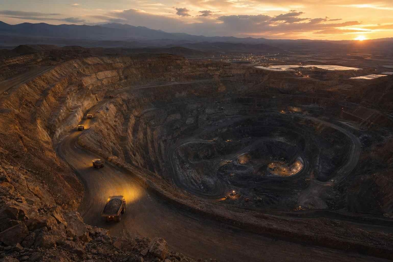
Aurea
MiningTrack extraction, secure perimeters and qualify how mining sites evolve.
Built for organisations with high operational stakes.
Confidential waitlist, reserved for organisations with high operational stakes.